

Volcano-High Pass Super Randonnee Brevet
Super Randonnees are organized by Randonneurs USA, not by Rene Herse Cycles. For the rules for Super Randonnees and how to register, check https://rusa.org/pages/super-randonnees This route is also a RUSA permanent (#4758), so it counts for various RUSA awards as well.
- Distance: 627 km (390 miles)
- Unpaved: 25%
- Climbing: 11,629 m (38,153 ft)
- High Point: 1,945 m (6400 ft)
- Rideable: late June – early October
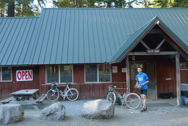
- Start: Packwood, WA
- Finish: Sunrise (Mount Rainier)
- Route: https://ridewithgps.com/routes/43375610
Checkpoints (controls):
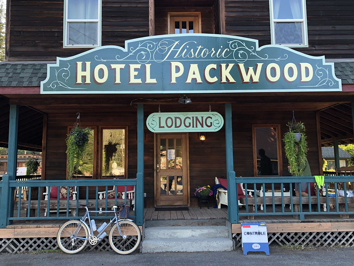
1: Packwood (start): Photo of Hotel Packwood sign
2: Walupt Lake (km 37.5): Photo of sign for Walupt Lake campground
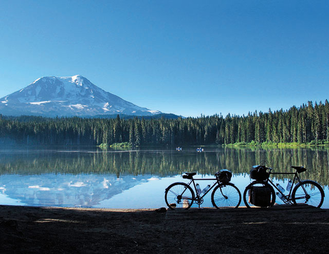
3: Takhlakh Lake (km 65.9): Photo of lake
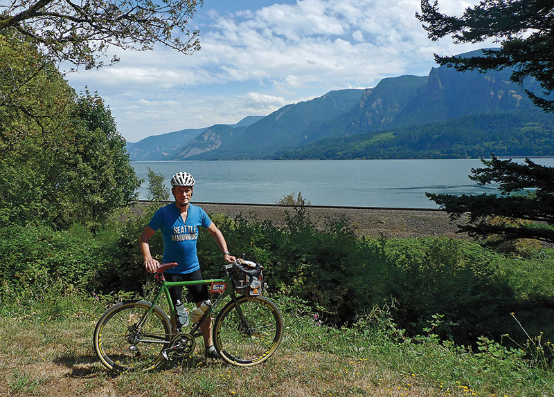
4: Columbia River (km 168.0): Photo of bike with river in background
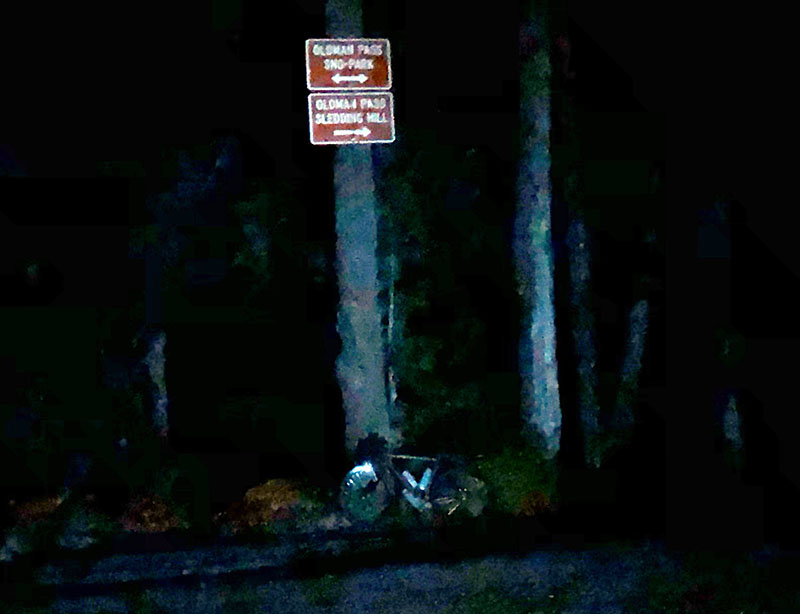
5: Oldman Pass (km 210.0): Photo of pass sign
6: Northwoods/Eagle Cliff (km 227.2): Signature or photo of store/campground sign
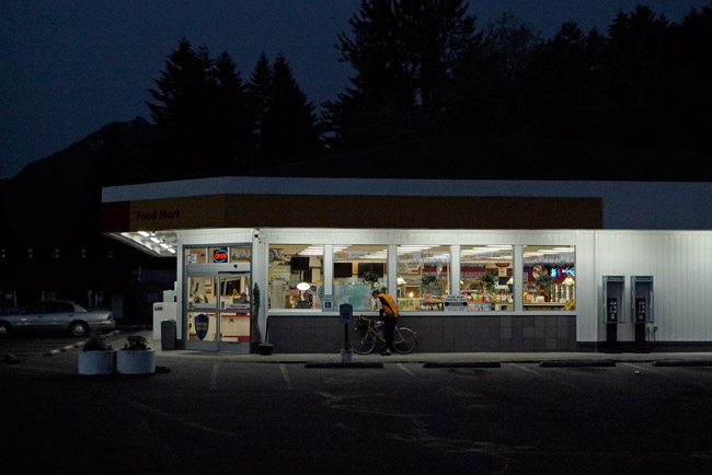
7: Packwood (km 327.7): 24 hour gas station, get signature
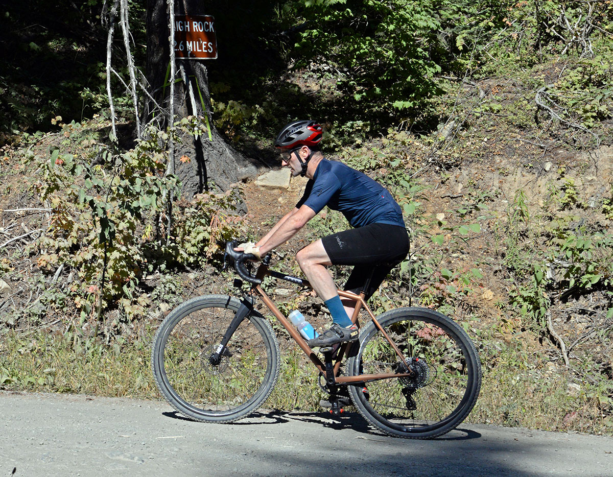
8: FR 84 at turnoff to High Rock (km 358.8): Photo of road sign ‘High Rock 2.6 miles’ or other marker.
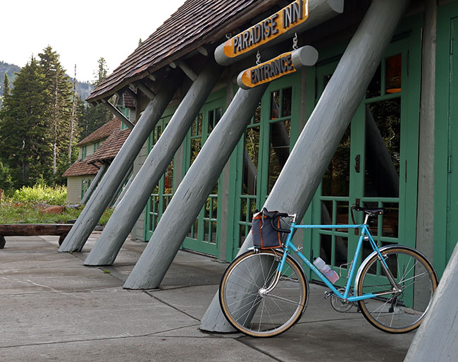
9: Paradise (km 400.0): Photo of Paradise Inn entrance
10: Cliffdell (km 502.5): Signature or photo of ‘Whistling Jack Lodge’ sign or ‘Cliffdell’ town limit sign
11: Greenwater (km 570.3): Photo of sign ‘Welcome to Greenwater’ or ‘Naches Tavern’
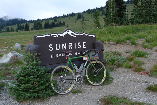
12: Sunrise (km 627.0): Photo of sign ‘Sunrise’
Important: Signs and landmarks in the high mountains sometimes can disappear with the deep snows of winter. In those cases, other landmarks can be substituted as proof of passage.
To register for this Super Randonnee 600 km brevet, please contact Jan Heine at least 4 weeks before the intended start date.
Rene Herse Cycles, its owners, employees and contributors do not accept liability nor legal responsibility for any contents of these pages.
