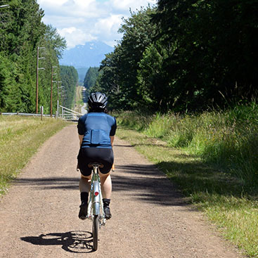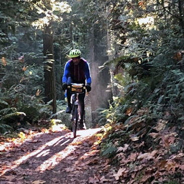

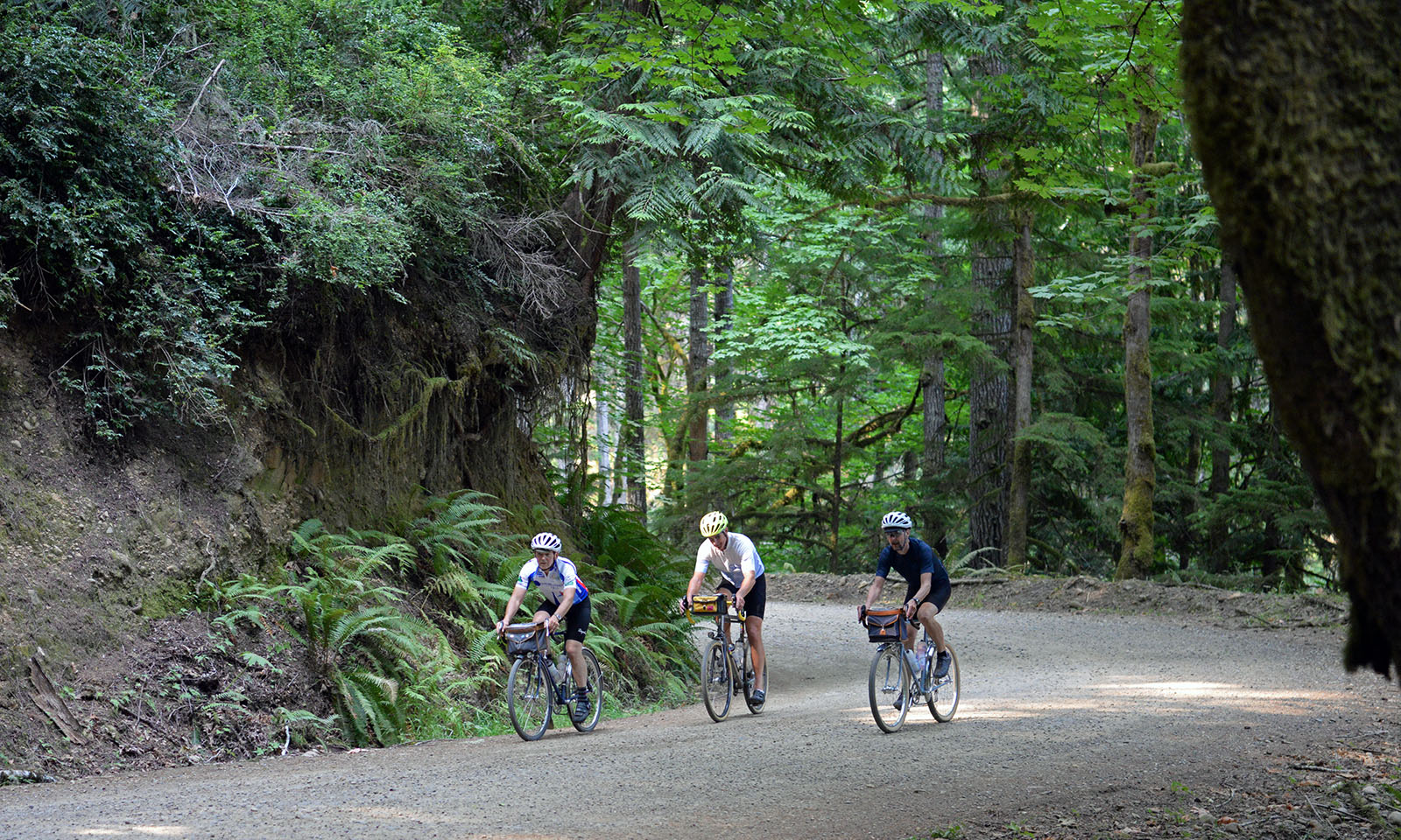

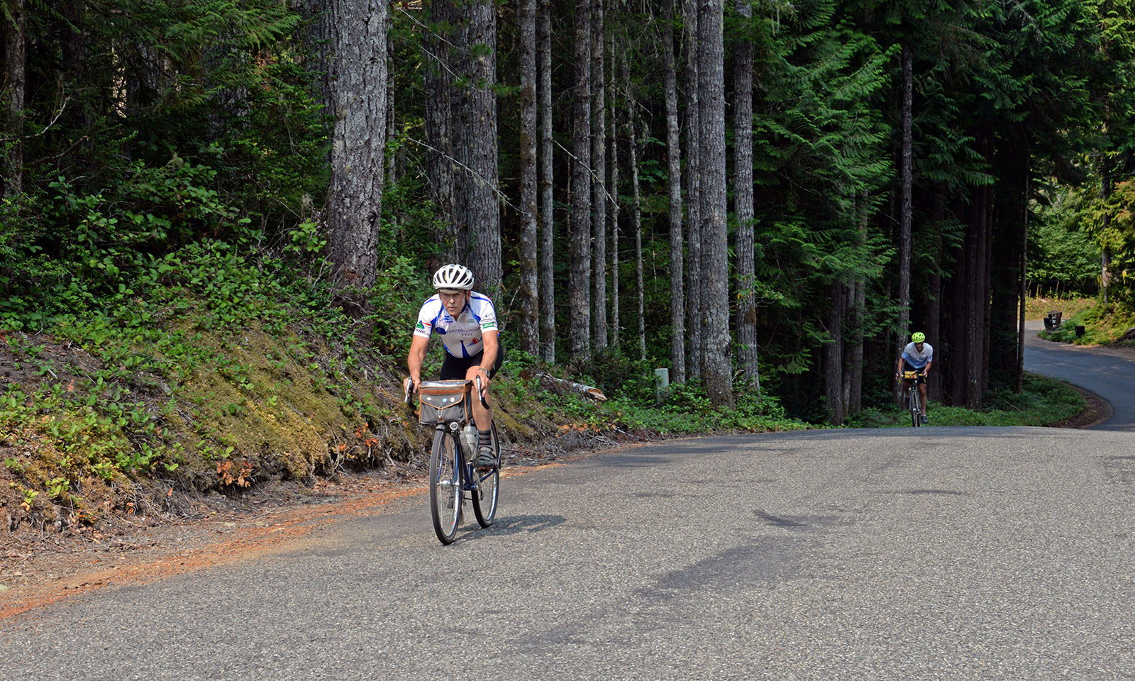
Route Description
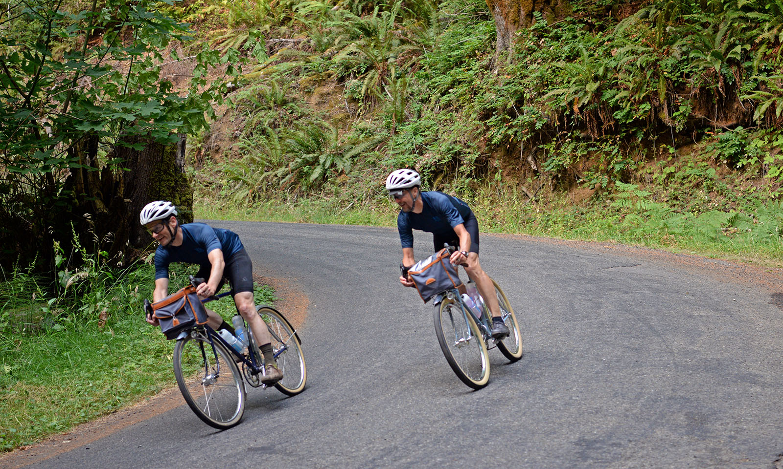
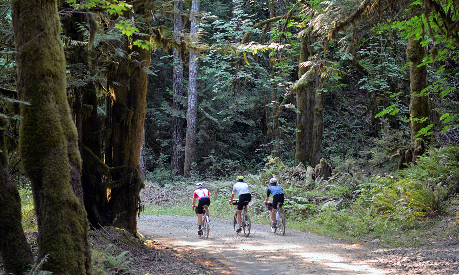
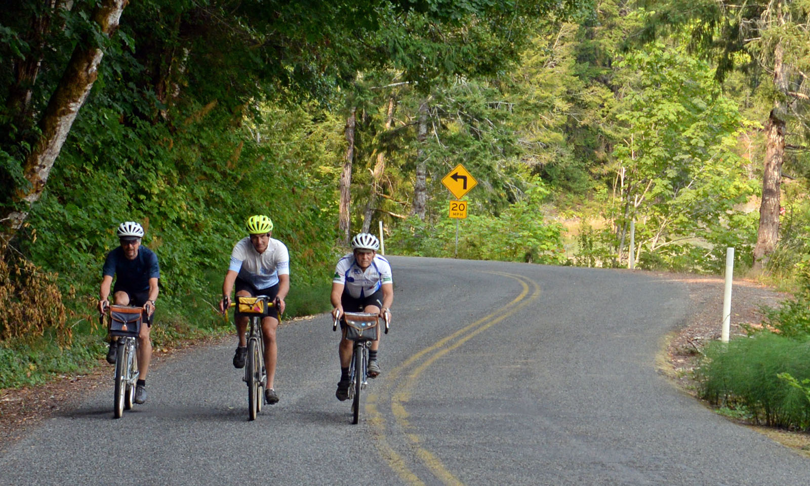
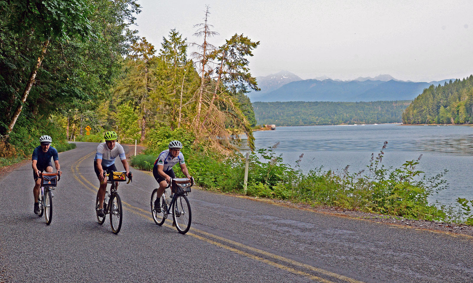
Take the ferry from downtown Seattle, meander through hilly neighborhoods as you leave Bremerton. Before you know it, you’re riding on quiet country roads to Belfair. From there, the route follows the Hood Canal. Undulating at first, the rollers become steeper past Tahuya, and the pavement ends. It’s one of the most challenging gravel sections anywhere, with steep descents, loose gravel and sharp turns. After a cafe stop on the water in Seabeck, climb the impossibly steep (paved) Anderson Hill Road before heading back to Bremerton.
Camping is available at Scenic Beach State Park (km 102), perfect for splitting this ride into a two-day loop.
Rene Herse Cycles, its owners, employees and contributors do not accept liability nor legal responsibility for any contents of these pages.
Route Details
-
Course:
80 miles (129 km) - https://ridewithgps.com/routes/38224402
-
Skills:
>10% GravelCampingEasy AccessTechnicalYear-Round -
Location:
Bremerton (ferry from downtown Seattle)
More Information
- Distance: 129 km (80 miles)
- Unpaved: 15% (loose gravel, tight turns)
- Climbing: 1,769 m (5,805 ft)
- High Point: 160 m (520 ft)
- Rideable: all year
- Recommended tires: 32 mm+
- Resupplies: Belfair (km 26); Seabeck (km 103)
- FKT (Fastest Known Time): unknown
- Route featured in: BQ 65 (BQ Un-Meeting)