


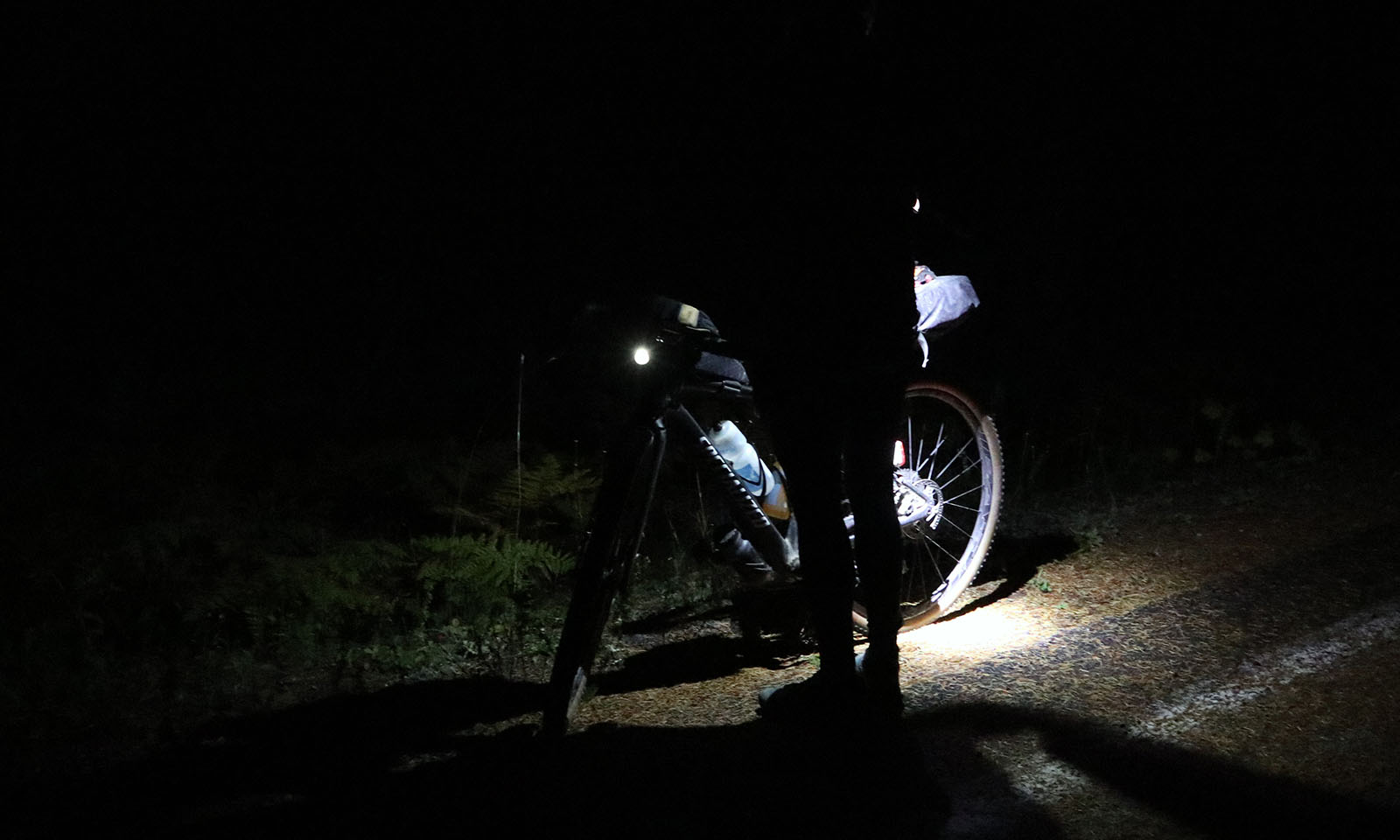
Route Description
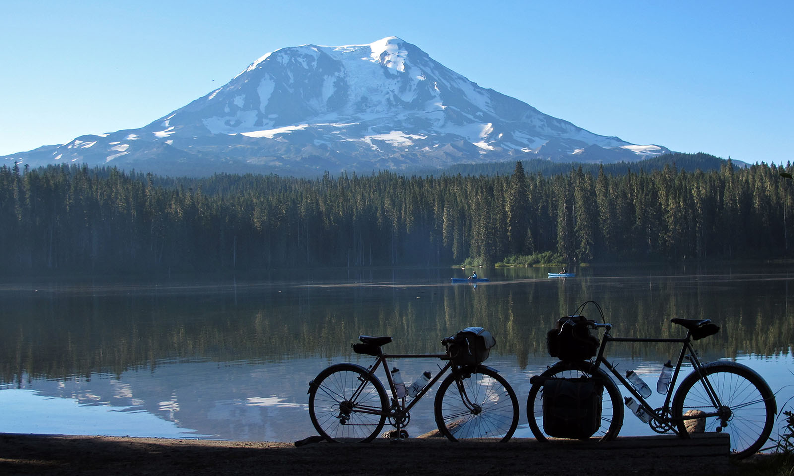
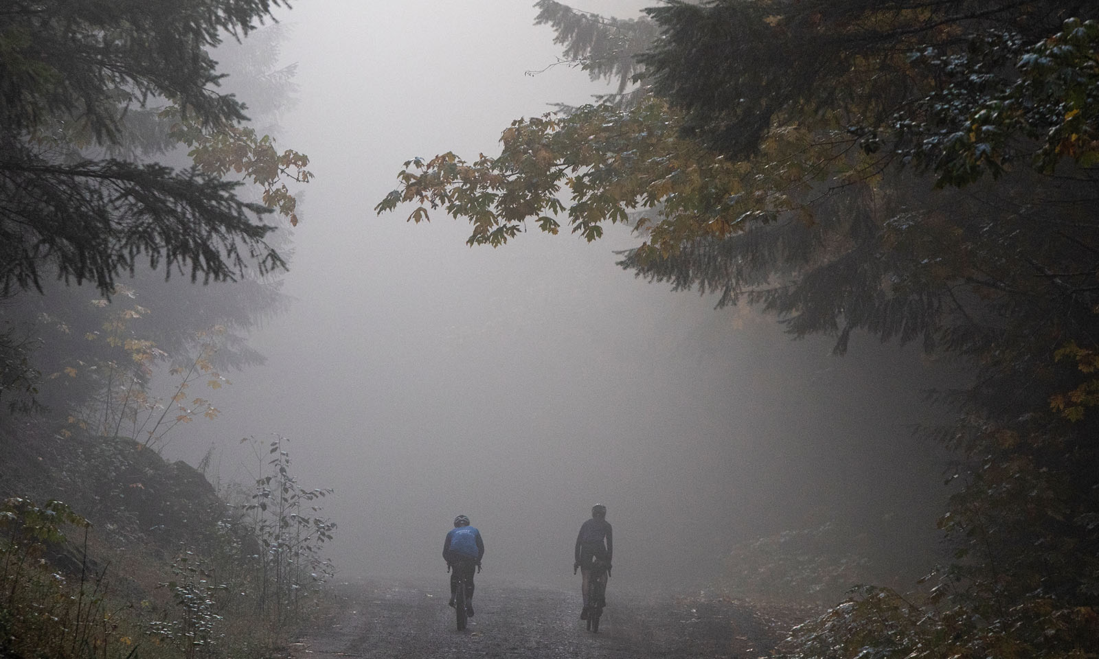
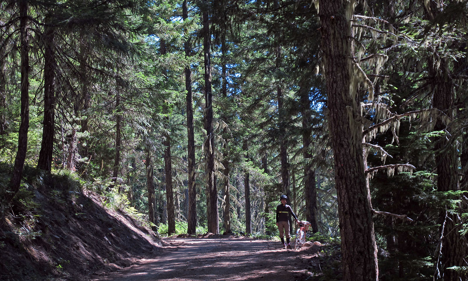
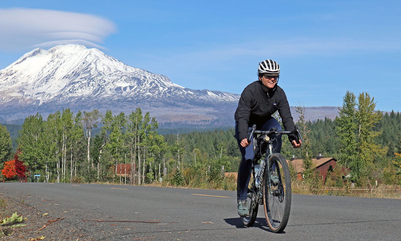
A classic randonneur ride that goes back to the origins of the sport: about a quarter of the ride is on gravel. The course is incredibly beautiful, heading up the slopes of Klickitat (Mt. Adams), Loowit (Mt. St. Helens) and Tahoma (Mt. Rainier) and taking you all the way to the mighty Columbia River. This is a very challenging course: It’s literally all up- and downhill, with no significant flat parts. It’s also very remote. Plan your trip carefully – supplies are very limited. This is a ride you’ll never forget!
Summits:
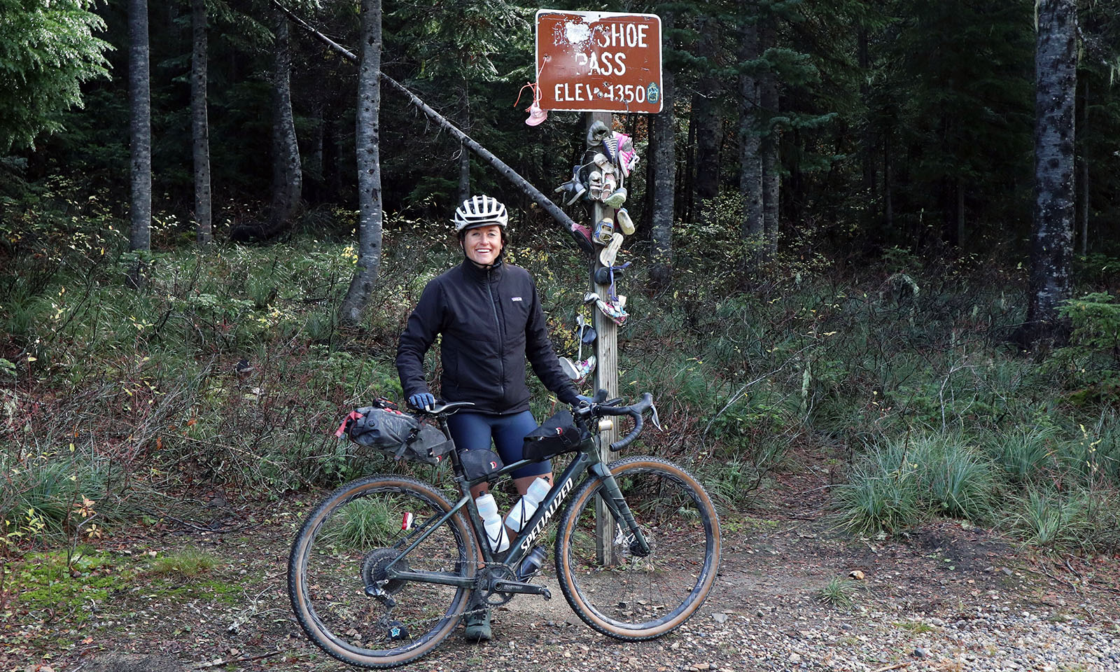
- Babyshoe Pass
- Oldman Pass
- Elk Pass
- Silver Creek Pass
- Paradise
- Cayuse Pass
- Chinook Pass
- Naches Pass
- Sunrise
Coming soon: The bikepacking version of this route includes some singletrack and avoids some of the highway portions.
You can ride this course as a RUSA Super Randonnee (organized by Randonneurs USA).
Rene Herse Cycles, its owners, employees and contributors do not accept liability nor legal responsibility for any contents of these pages.
Route Details
-
Course:
432 miles (696 km) - https://ridewithgps.com/routes/38224037
-
Skills:
>10% GravelCampingHotels availableLimited ServicesSummer Only -
Location:
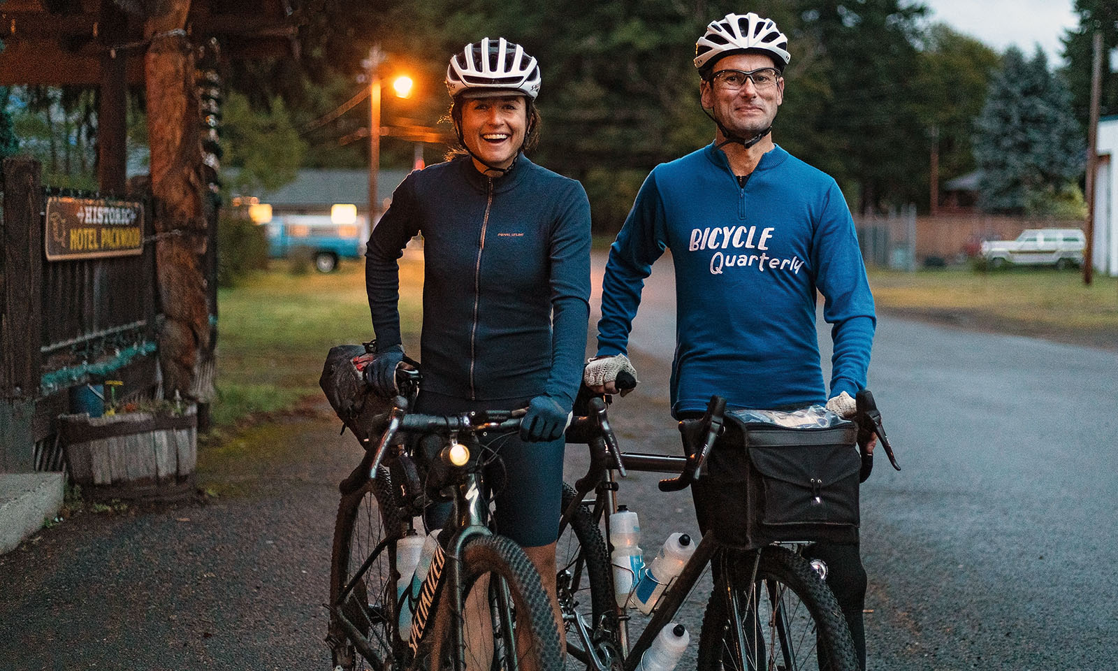
Packwood, WA
More Information
- Distance: 696 km (433 miles)
- Unpaved: 25%
- Climbing: 11,908 m (39,067 ft)
- High Point: 1950 m (6400 ft)
- Rideable: late June - early October
- Recommended tires: 42 mm+
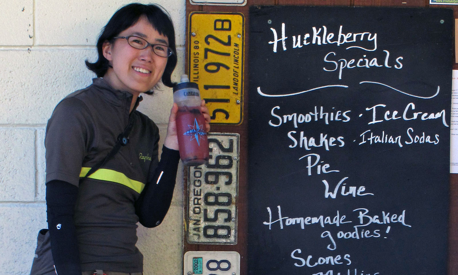
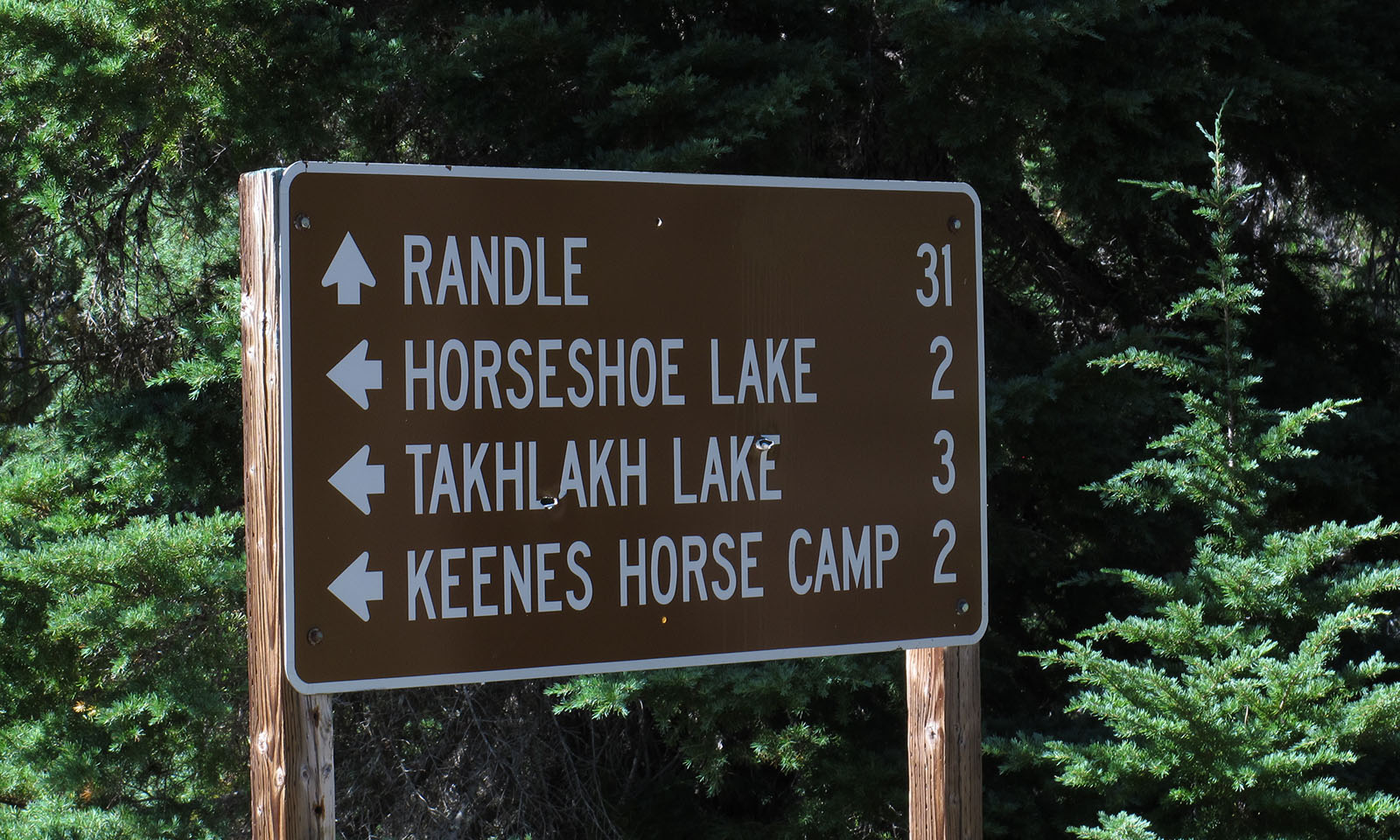
- Resupplies: Trout Lake (km 108); Carson (km 164); Northwoods/Eagle Cliff (km 228, closes early in autumn); Randle (off-course, km 300); Packwood (km 328); Longmire (km 380); Paradise (km 400); Cliffdell (km 503); Greenwater (km 570); Sunrise (km 627)
- FKT (Fastest Known Time): Jan Heine (38:58 hours, August 2013)
- If you plan to set an FKT or ride this route as a Super Randonnee, please contact Jan at least 30 days before your planned ride.
- Route featured in: BQ 74 (Lael in the Cascades; southern half); BQ 45 (Calfee 650B test)
