"Pre-Riding" the 600 km Brevet
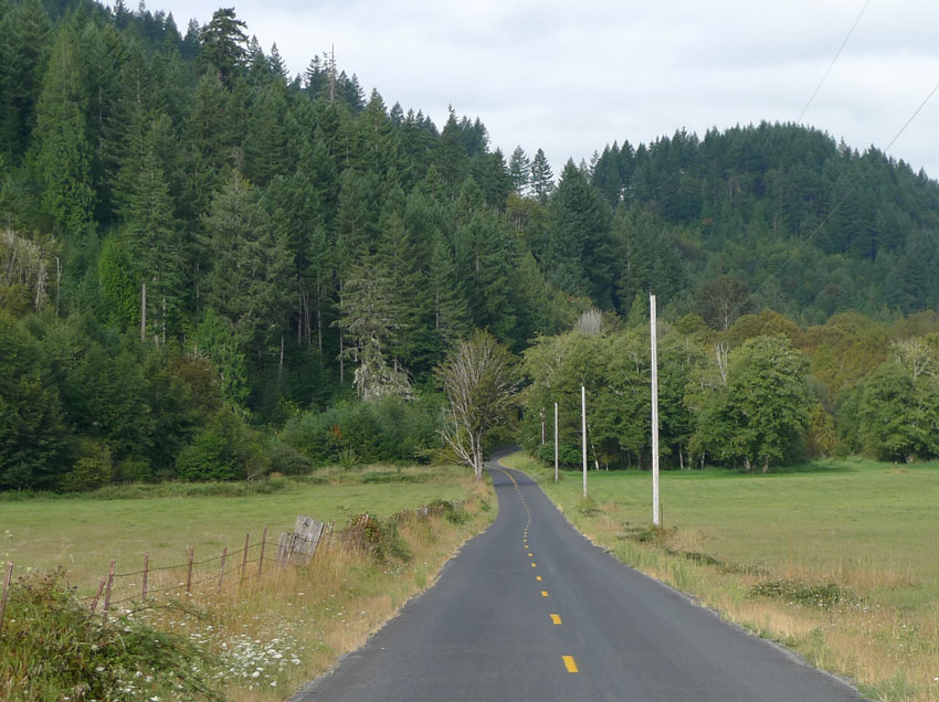
Last weekend, Ryan and I were fortunate to have glorious weather for our “pre-ride” of the Seattle International Randonneurs 600 km brevet. A “pre-ride” is done by the ride organizers to make sure the route sheet is accurate, instead of relying solely on sometimes-erroneous maps and outdated satellite images: Bridge out? Road construction? Only cafe out of business? We try to make sure that the roads are passable and that the ride can proceed as planned.
We met at Ryan’s house on Saturday at 5 a. m., then headed out of town on familiar roads. After 50 miles, we reached Enumclaw and started the official 600km course.
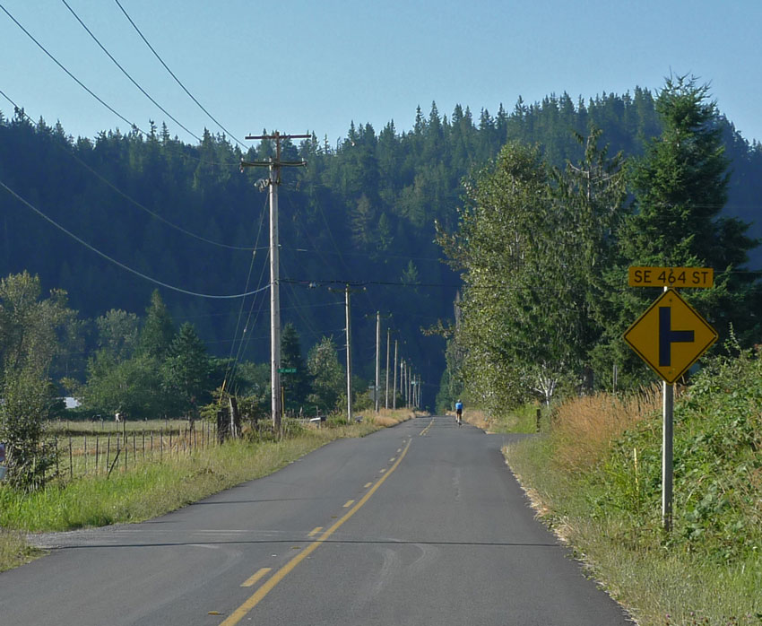
Many randonneur brevets stick to main roads, both because that makes the rides easier to plan and because it simplifies navigation on the road. But would you ride on the highway if you knew there are roads like this one just a few blocks away? Preparing the ride, we spent some time with maps, both online and on paper, to find alternatives to the main thoroughfares.
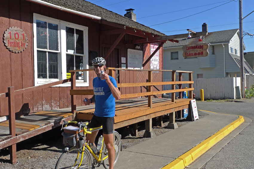
We had organized this ride in the past, but we needed to make some changes, because a road in Mount Rainier National Park would be closed. So we had added a little jog to Carbonado to get the full 600 km distance. The historic saloon in this old mining town was still closed, so Ryan toasted with a bottle of Ensure Plus instead.
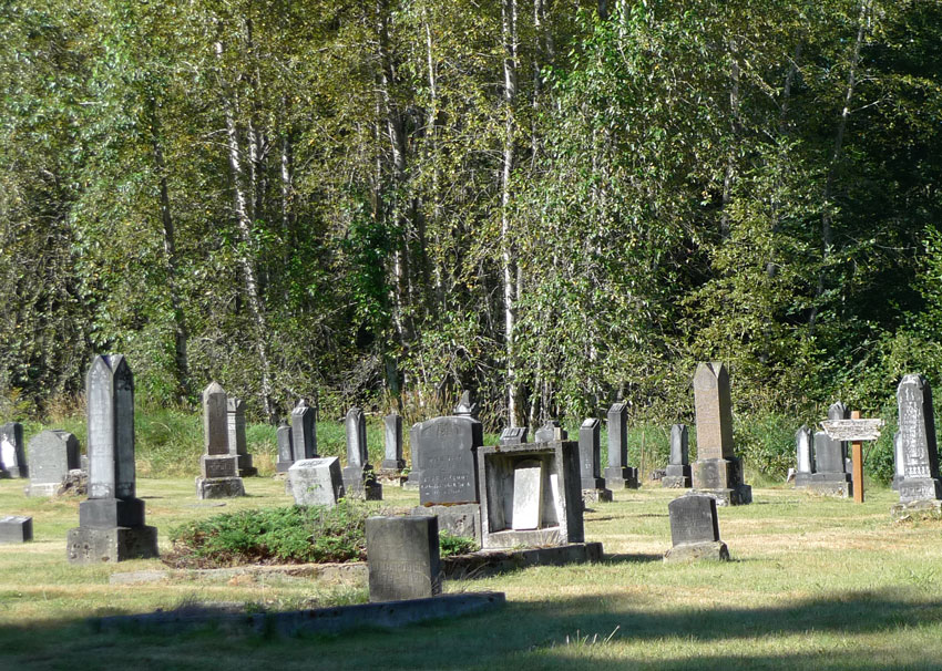
We also added landmarks to the route sheet. If you know that the left turn on Johns Road is at the cemetery, you’ll be less likely to miss it.
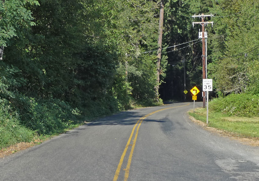
We found a few surprises – one road on the online map was only a right-of-way, but not an actual road. Having a map on hand of the area allowed us to plot an alternative route over this lovely backroad. The pavement wasn’t the smoothest, but what a road! It rollercoastered through the forest, and we were reminded once more why we love 42 mm-wide, supple tires.
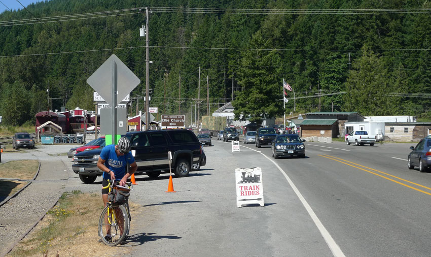
The few times when we did venture onto the highway, we were reminded that it was Labor Day weekend. Traffic was heavy, but drivers were courteous (with the exception of two middle-aged ladies in an SUV who honked and yelled at us). Another lady who flashed a beautiful smile at us as we passed on a steep climb more than made up for it, though!
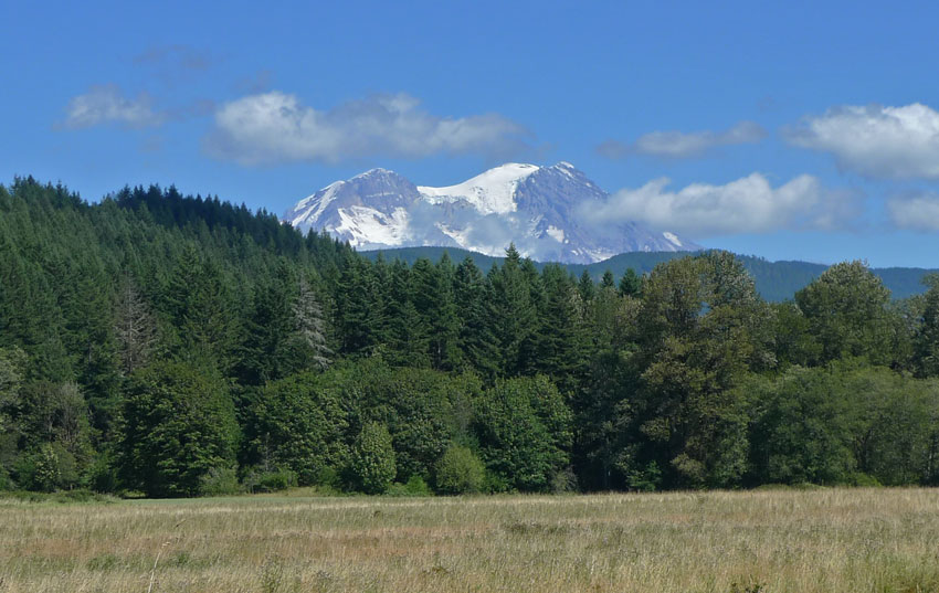
Views like these of Mount Rainier remind us why we enjoy living around here.
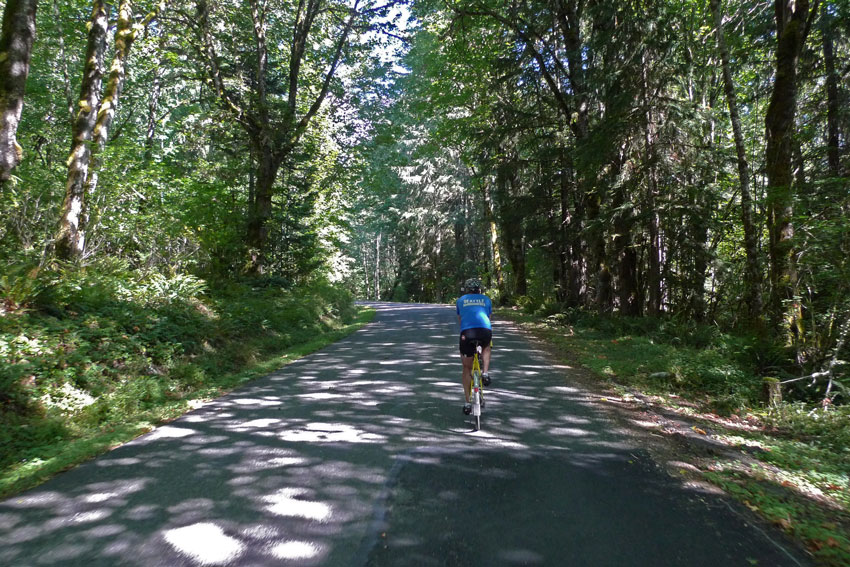
The small, sun dappled Tahoma Canyon Road near Ashford was a nice respite from the highway for a few miles.
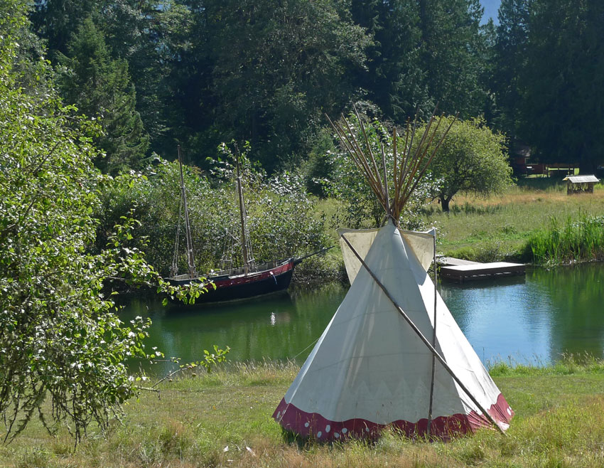
On these backroads, you discover little gems that fill your heart with joy. Which child wouldn’t want their own little lake, pirate ship and teepee?
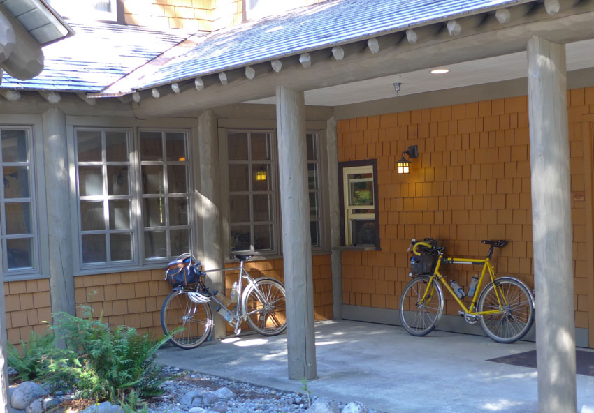
We arrived at the historic Longmire Lodge in Mount Rainier National Park for a very late lunch – just before the kitchen closed to transition to dinner.

Fortified with the great veggie wraps, we started the climb to Paradise. In the background is the Nisqually glacier, covered with boulders. A century ago, it still reached all the way to the bridge.
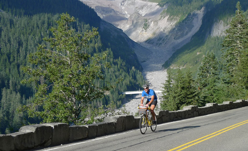
I love this climb to Paradise, because you really see the results of your hard work. Just minutes ago, Ryan took the photo at the bridge that now lies far below him in the valley. The cars that are crossing it are barely visible dots.
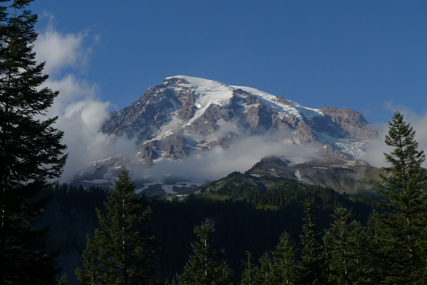
Mount Rainier no longer is in the distance – we are on its flanks!
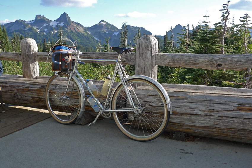
Paradise is at the tree line, and the views on this clear day were spectacular.
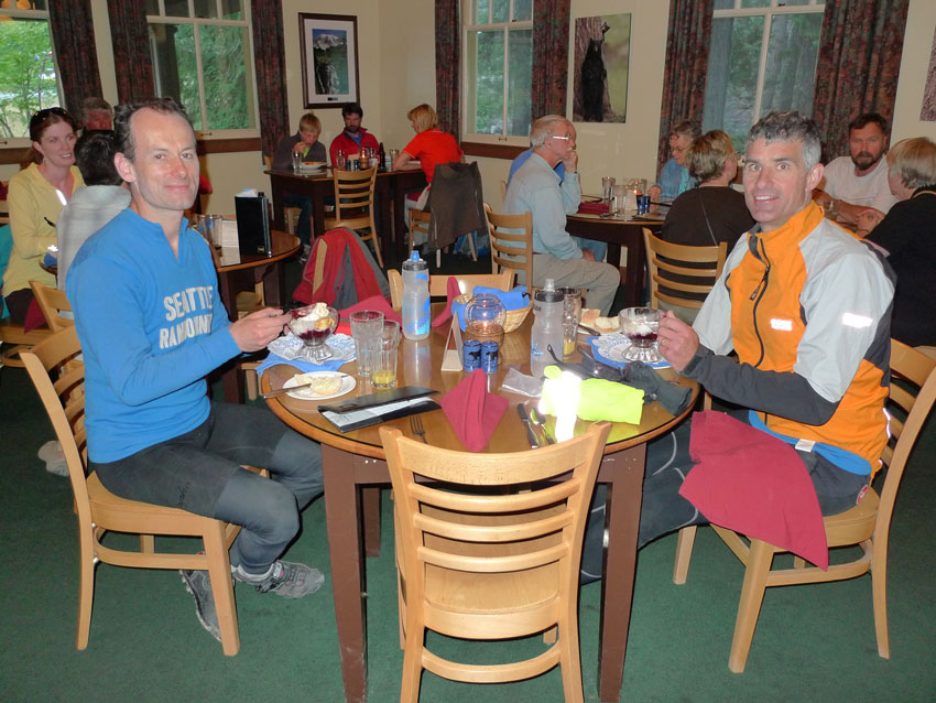
Fifteen minutes of exhilarating descent later, we returned to Longmire for dessert. From there, we followed a “secret” path out of the park that led us to the wonderful Skate Creek Road. We rode through Packwood and Randle.
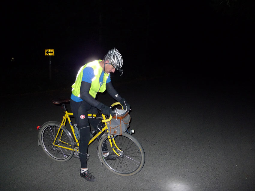
Just after 9 o’clock, we started the climb to Windy Ridge on Mount St. Helens under the full moon. How do you make sure nobody misses the unmarked turnoff onto Forest Road 26 in the middle of nowhere? Ryan is updating the route sheet with the exact distance and landmarks.
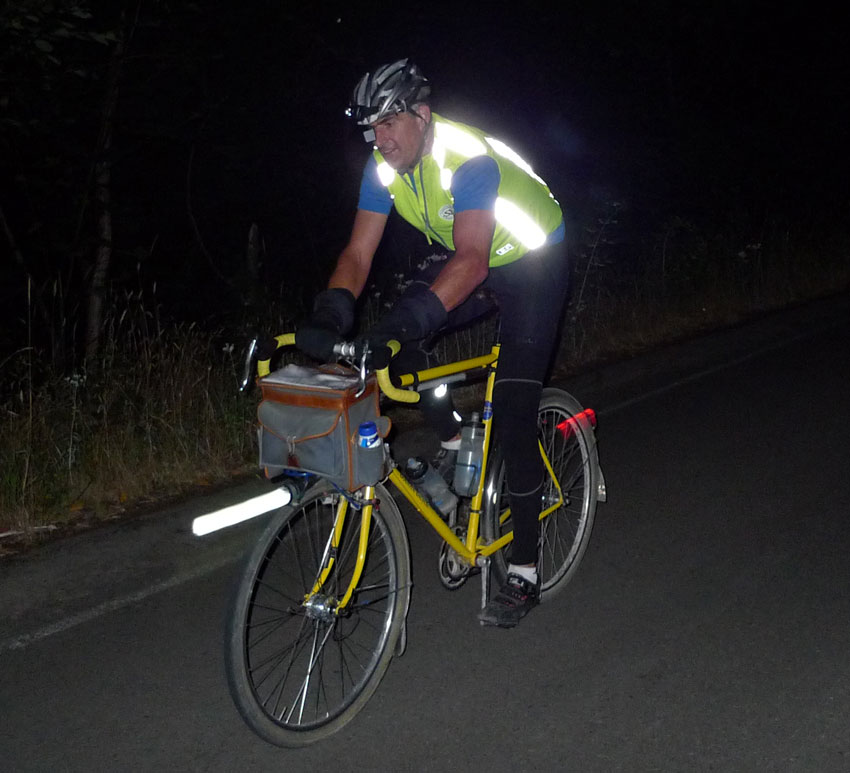
It was a full moon, and on the steep climb, we were working hard. After 3.5 hours of climbing, we reached Windy Ridge. We got a great view of the volcano in the moonlight, and could see Mount Adams in the distance, so bright was the night.
Clouds were moving in, and on the descent, we dove in and out of blankets of fog, often with visibility of only 20 m (60 feet). We took the slightly more-travelled Forest Road 25 on the way down, because Forest Road 26 has many patches of gravel. Even so, we worried. Was it wise to send randonneurs down that road during the dark night, considering the many dips and bumps, as well as inch-wide cracks in the pavement where the road has settled? Not everybody has 42 mm-wide tires. Not everyone has a buddy with them to make sure they are alert instead of dozing off to sleep… In fact, we only kept going because we wanted to get to lower elevation before stopping.
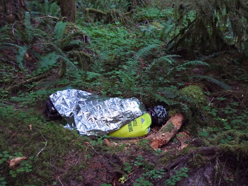
At 3:45 a.m. we finally arrived at the bottom of the big climb. We stopped at Iron Creek campground and went to sleep.
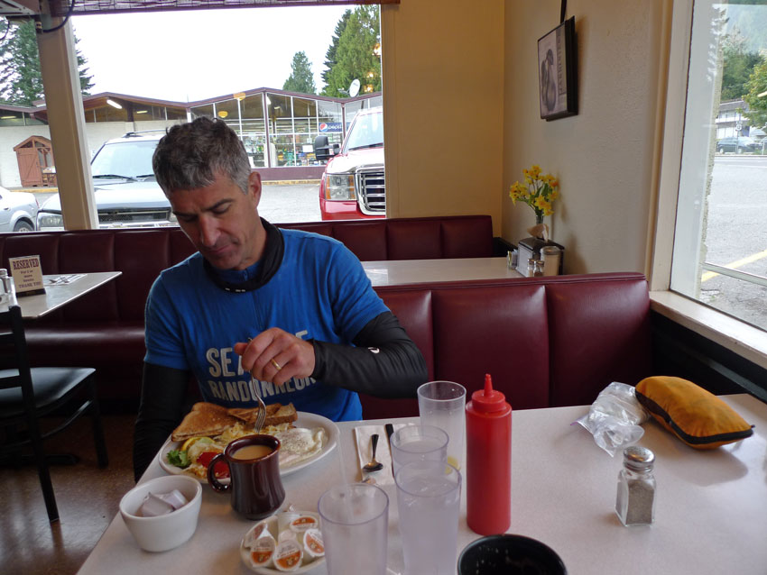
Surely you can imagine how much we enjoyed a hot breakfast in Randle after a night spent on the road and in the forest.
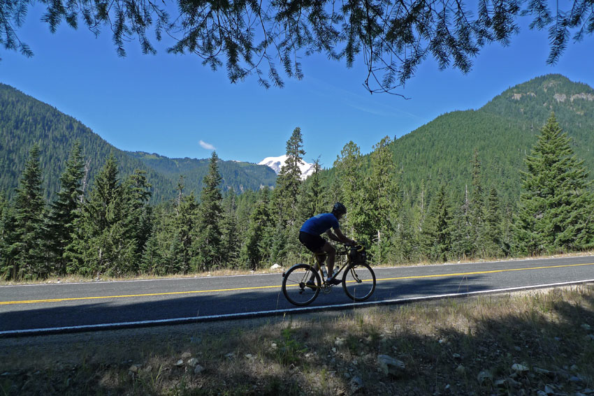
After more backroads (see the photo at the top of the post), we started our day in earnest with the ascent of Cayuse Pass. Taking photos after sprinting ahead on this climb isn’t easy – you end up in the wrong spot with a tree obscuring the mountain.
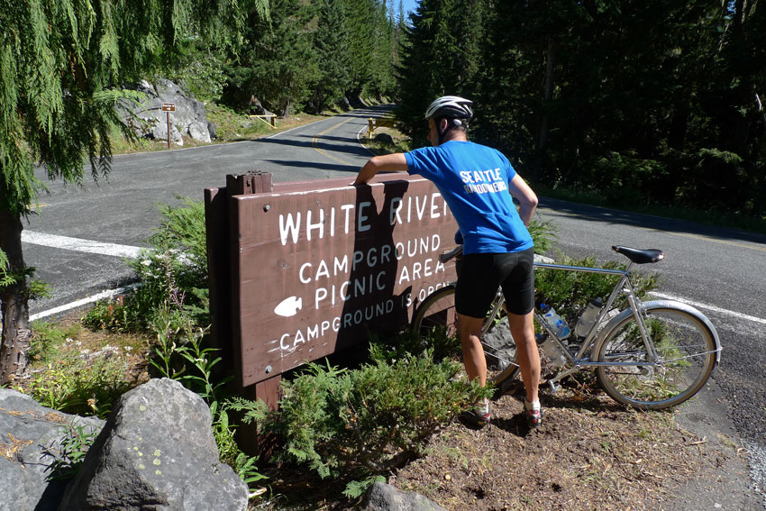
After another descent, we took a little detour to White River Campground, where we placed some stickers that randonneurs could put on their control cards as proof that they had been here. That way, we would not need a volunteer waiting at the control for many hours during the event.
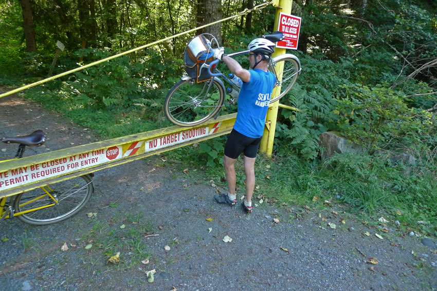
Highway 410 from Rainier toward Seattle was full of traffic on this Sunday afternoon, so we lifted our bikes across the gate and took the “secret” abandoned logging mainline instead.
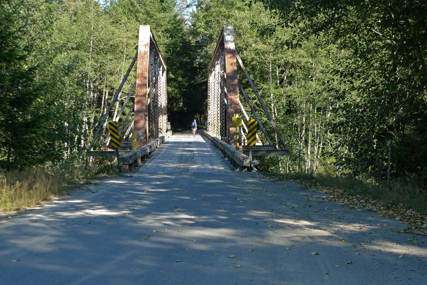
There is a whole network of gravel roads to explore here which are closed to general traffic. Some are disused and overgrown, others remain in great shape. We’ll have to come back to add to our collection of roads! (We also need to investigate how access to these roads is handled, to make sure we are not trespassing.)
Just after 10 p.m., we arrived back home in Seattle. We were lucky to have such glorious weather, but we decided not to route randonneurs over Windy Ridge at night. The official brevet next weekend will be on a different course. For anybody who wants to attempt this course on their own, we recommend an evening start that puts you on Windy Ridge during daytime. Parts of the preliminary route are available here and here.


