

Jikkoku Pass in Autumn: Day 2
In the last post, I talked about riding on the old road across Jikkoku Pass.
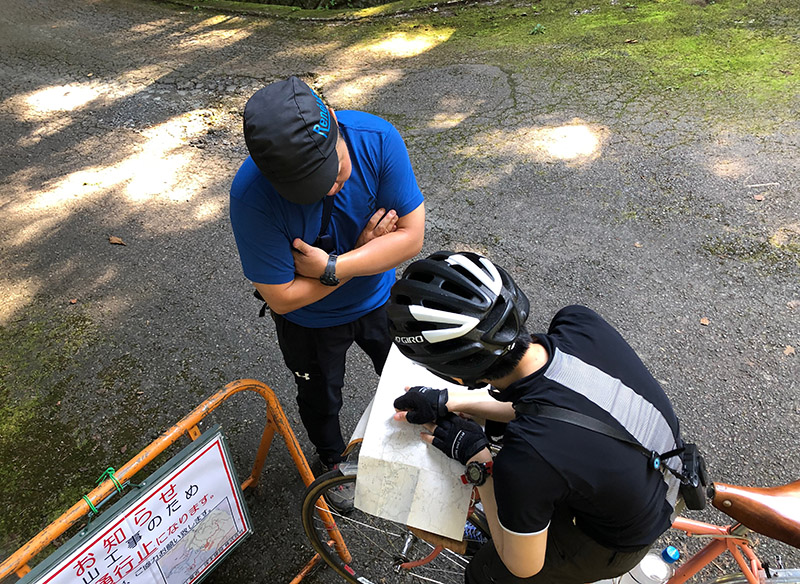
Where to go on the second day? We haven’t quite decided yet. The typhoon is getting closer, and we don’t know what the weather will be like. If it’s just raining, it’s OK, but this time, a huge typhoon is forecast, which may make riding in the mountains dangerous because of landslides. We will adjust our plans as the day develops.
Since we don’t know our itinerary yet, I’ve brought more topographic maps than usual. These days, GPS is popular and useful, but I prefer riding with paper maps. For me, cyclotouring is less about the physical aspect of pedaling and more about the mental part of discovery. If I plan my ride so carefully beforehand, I can imagine what it will look like, and there will be fewer surprises. With GPS, I also would tend to focus on my goal and my schedule, and miss many small discoveries along the way. Perhaps it’s just my personality, but paper maps work well for me.
Our route today isn’t a really big challenge. There are many trains in the region surrounding these mountains, so we have options. Our plan does not need to be extremely detailed. Our equipment allows us to deal with unexpected things, so we can plan a little more roughly.
When I go to real passhunting, where I push my limits, I prepare very carefully, because it is necessary for safety. But today, we’ll just ride on roads that are still in use – some paved, some not. We shouldn’t face big problems.
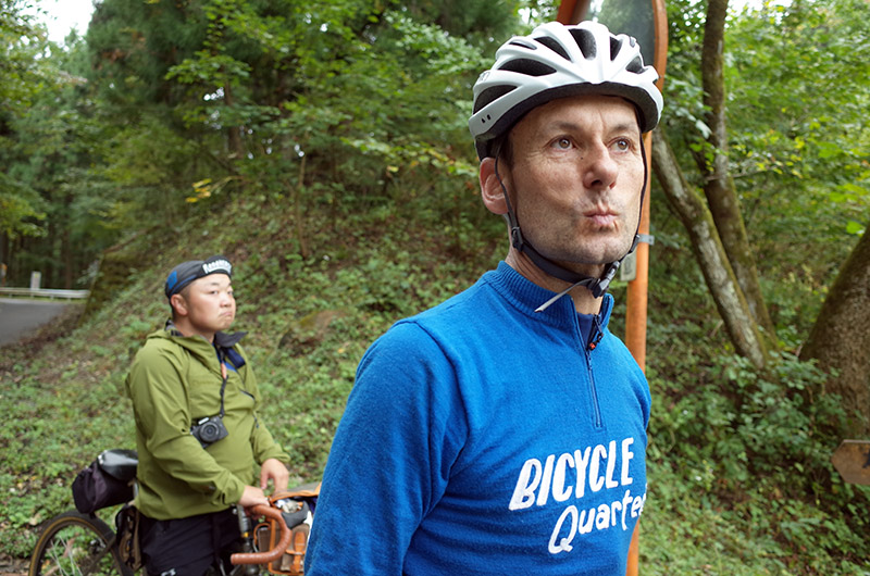
During breakfast at the inn, we discuss our plans and choose a route: We’ll climb Yakyu Pass, then take the Nishi-Chichibu Rindo (forest road), then head to Mount Jomine. I look forward to exploring this region. I’ve been to Mount Jomine, because the Yama Saiken (Tokyo Mountain Cycling Club) organizes a hillclimb race there every February. Yet on the this side of the mountains, conditions in February are always snowy and icy, and I’ve never gone. On the map, the road looks very enticing. It’s autumn now, and a great opportunity to explore this region.
The climb to Yakyu Pass is a bit steep for me. Even though I use what we Japanese call ‘Inner-Low’ (the smallest gear), it doesn’t feel easy. It’s a familiar situation, because I often ride at 4 km/h (2.5 mph). It’s my specialty, to keep the bike steady at this low speed. I am happy to have such a small gear: 26×26.
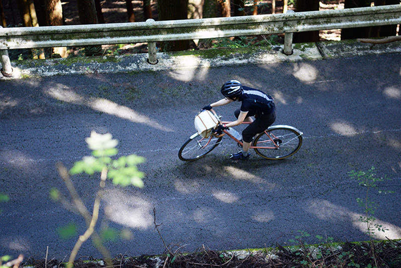
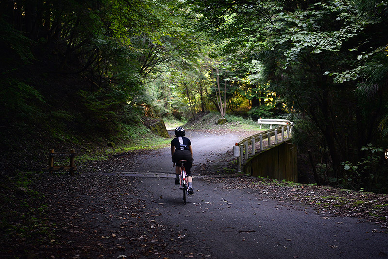
It’s already October, but it feels hot, and I am sweating. Yakyu Pass is not that long, maybe 1.5 hours of climbing, but it feels much longer than it is. There aren’t many big views on this pass, but it makes up for it with komorebi cycling – the road is dappled with a pattern of light and shade from the sun filtering through the trees.
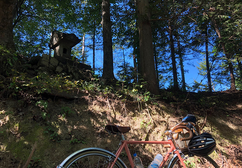
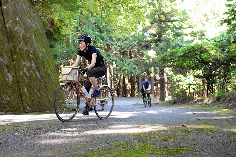
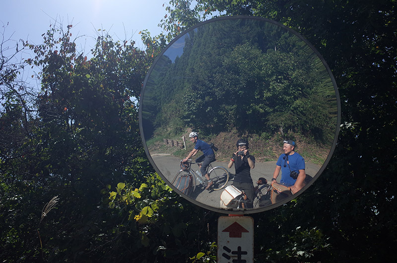
When we reach the top and see the little stone statues that are watching over the pass, I am happy and relieved. Phew! This was a long 1.5 hours! From here, the map shows a road that goes up and down as it hugs the mountainside, without gaining or losing a lot of elevation. We call these roads Skylines.
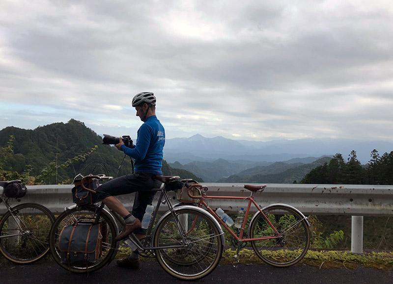
When we stop for lunch, it’s a bit chilly in the shade, but in the sun it’s warm. At times, the trees open up, and we are treated to views across the mountain ranges.
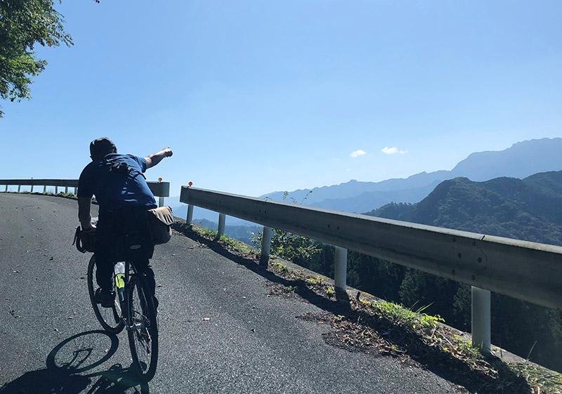
The view is different here: The deep valleys are replaced with a continuous landscape of mountains stretching into the distance. It’s a bigger view, and I can feel that we’ve crossed the pass and come to the other side of the mountains. This is one thing I love about cyclotouring – I can feel how the mountain pass is a real boundary between landscapes and sometimes also between cultures.
As the day goes on, clouds are moving in. This morning, I cycled in a short-sleeve jersey, but now I am putting on a puffy down jacket. The weather is changing quickly. We took a long lunch break, so the sun is starting to set as we reach Mount Jomine. We see the Chichibu Plain below us, and, on the other side, Mount Buko with its big limestone quarry.
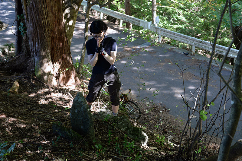
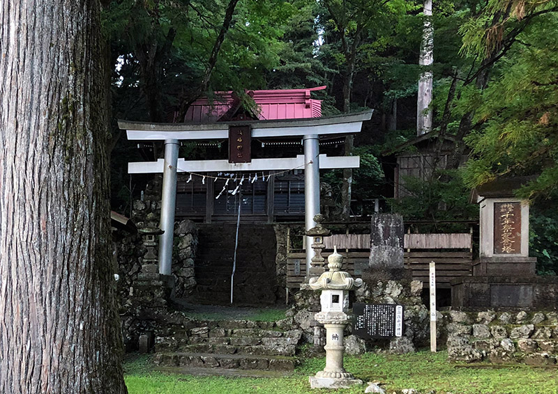
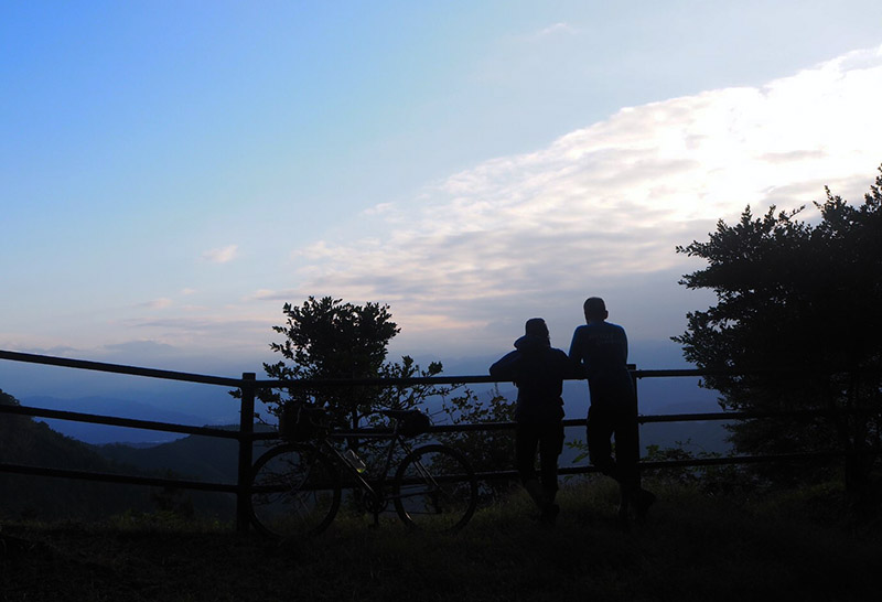
We visit the Jomine Shrine. It’s deserted, making the small wooden buildings under the huge trees look even more romantic. In the evening chill, we look for a vending machine with hot drinks, but no luck. As we look toward the horizon, we see blue sky and bright light, but the mountain behind us is already dark. It’s time to go!
From the shrine to the valley is a 800 m (2625 ft) descent on a narrow, winding road. It takes 45 minutes to reach the bottom. We don’t meet any cars, but we need to be careful on this single-lane road. So I have to brake for each turn. My hands get tired from all the braking, and I stop a few times to rest them. I feel a bit melancholic that our trip will end soon after these two wonderful days, but the descent requires my full attention.
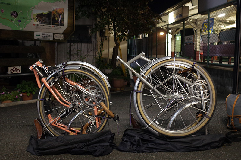
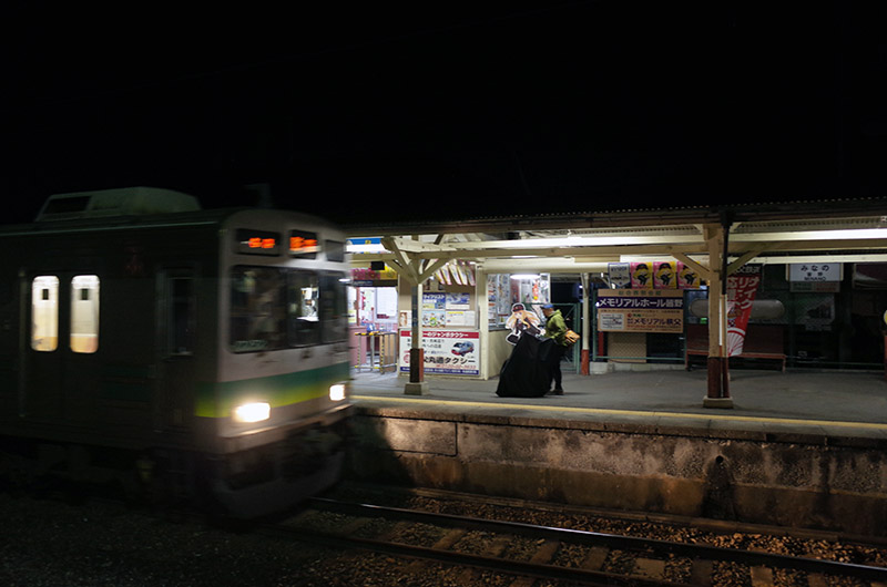
Just as I am getting really cold, we reach the bottom. We ride along the Yoshida River in its big valley. It’s dark now, and we pedal a bit harder, because our bodies are getting cold in the night. We descend from a big bluff, cross the river on a bridge, and reach Yorii Town. A few turns, and we arrive at the station. After Rinko-ing our bikes, we wait for our trains and chat about our trip.
It was really fun. I was glad to return to Jikkoku Pass with Jan, and going with Mr. Yo was special: For a long time, he and I had talked about visiting Jikkoku Pass. Now we could make it happen.
Postscript: As we arrive back in Tokyo, it starts to rain. Super-Typhoon Hagibis is coming. The heavy rains cause extensive damage to the old road across Jikkoku Pass and to Ueno Village. I hope the village and the road will recover soon, so we can visit again.
