

Super Randonnée 600 Reconnaissance, Part 2
In a previous post, I described our reconnaissance trip for the Super Randonnée 600. We climbed a dirt road pass at night, and even though we had to hike through some snow still left from the winter, it was passable. We were anxious to know the conditions over the key part of the route: the road from Walupt Lake to Trout Lake, which is at a much higher elevation.
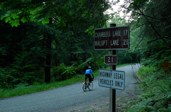
Leaving Packwood in the first light of the day, we turned onto another long gravel climb. Forest Road 21 would take us to Walupt Lake, where it connects to other gravel roads that skirt the western flanks of Mount Adams, one of the great volcanoes of the Cascade Range.
It’s a steep climb, as the road has to gain elevation quickly. Even though we had been riding all night, we felt refreshed by the new day and made short work of the steep road.
After only a few miles, we already had gained 1500 feet.
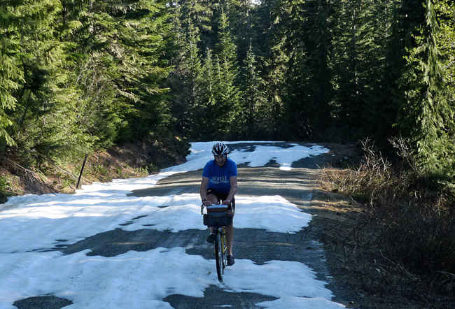
With the increasing elevation, we encountered more snow. Some of it was rideable.
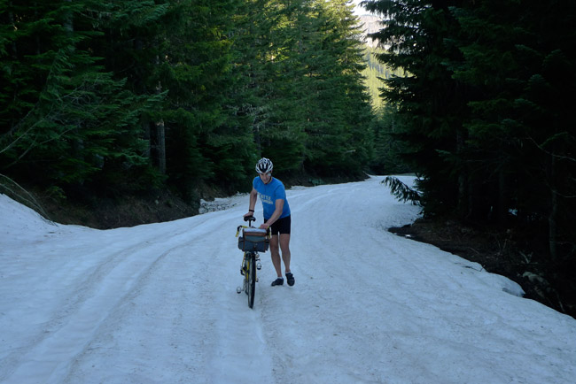
At other times, we hiked, because even with 42 mm tires at low pressure, our bikes sank deep into the snow. A “Fatbike” might have made it here, but on a “Fatbike” we would not have been able to ride from Seattle to here overnight.
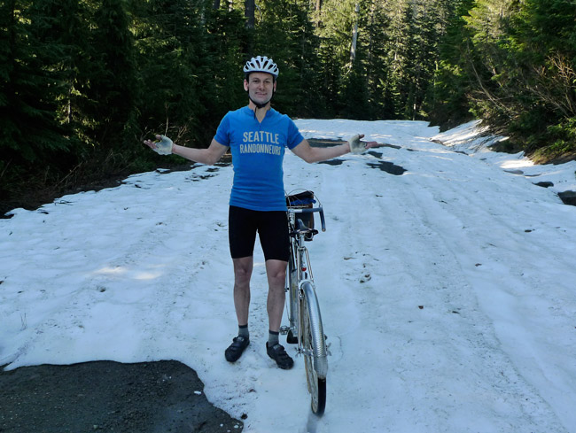
We finally realized that even getting to Walupt Lake would require more hiking than riding, and the higher roads beyond were certain to be covered in snow. There was little point in pressing on, so we turned around. It will be a few weeks at least until these roads will be rideable.
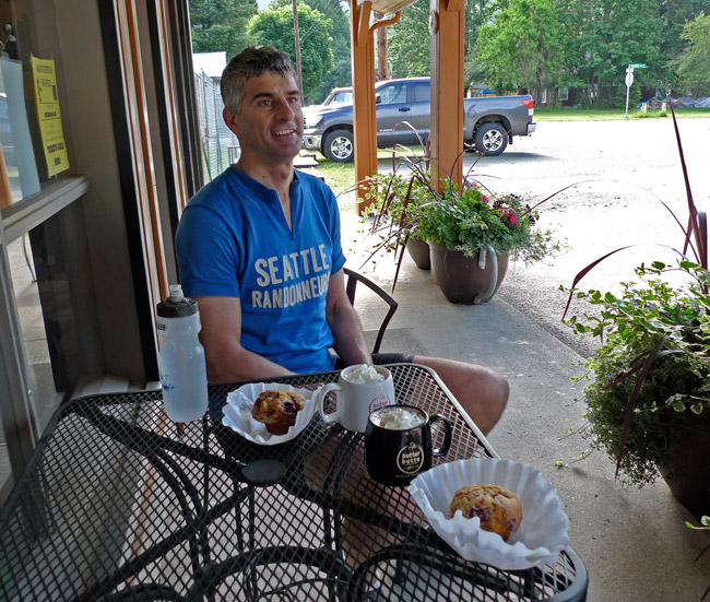
The descent on the steep gravel road was exhilarating. As we returned to Packwood, we found that the café was open. Hot chocolates and muffins were a welcome change from the convenience store.
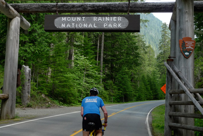
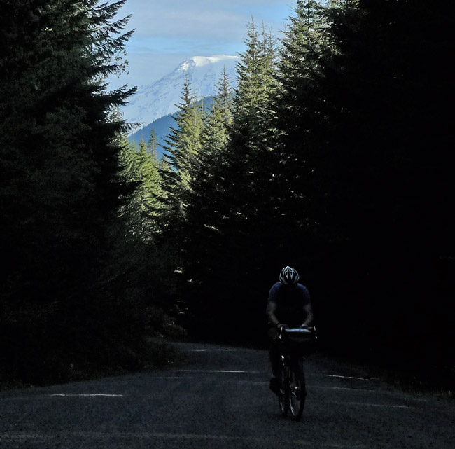
Refreshed, we started the third climb of the ride. As we entered the national park, the road tilted upward toward Cayuse Pass. Riding through the old-growth forest of the Grove of the Patriarchs is always a wonderful experience. The waterfalls along the road were in full flow from the snow melt. A plus: there was almost no traffic.
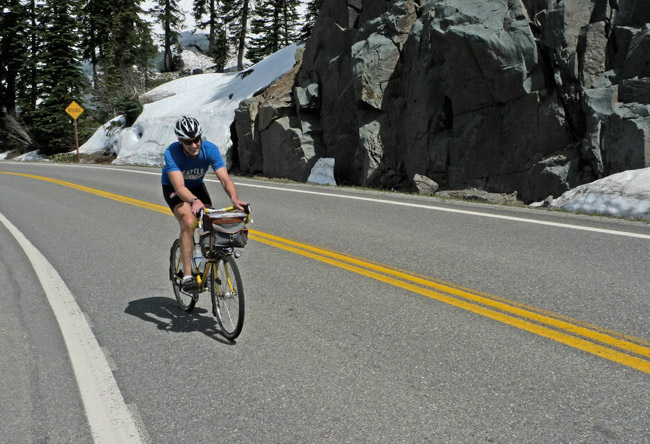
Cayuse Pass is a long and relentless climb, but once you know it, you learn how to pace yourself. About 2/3 of the way up, the grade relents ever so slightly, giving you a much-needed boost that carries you to the top at almost 4700 feet.
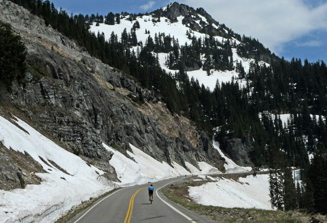
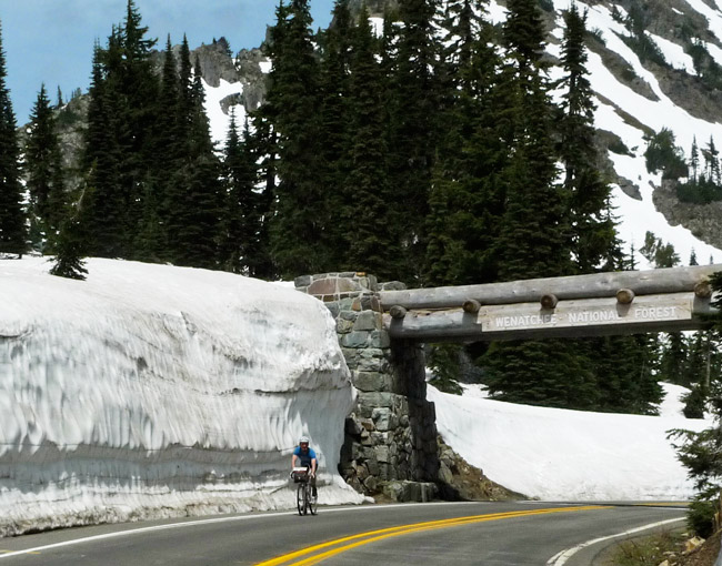
Once we got to Cayuse Pass, we headed up the “bonus climb” to Chinook Pass. It’s another 750 feet of elevation gain, but the grade is relatively gentle as it winds its way around the mountain.
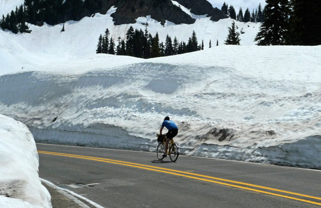
Up there, the roadside snow was truly impressive. Every year, it takes almost a month to clear the road, and it’s obvious why even snowblowers and bulldozers have a hard time getting through the 30+ feet of snow.
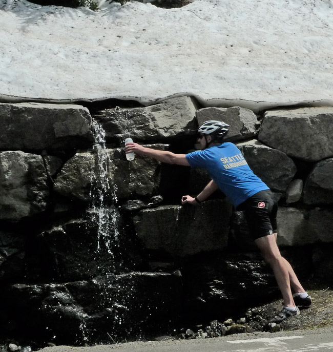
We were delighted to fill our water bottles from the snowmelt on this hot day.
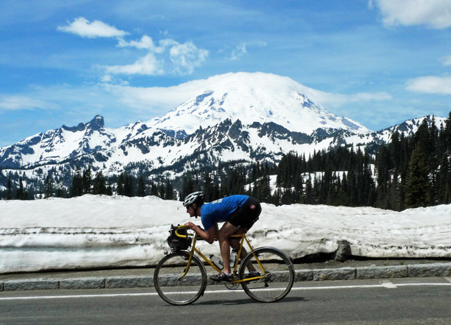
Chinook Pass offers a gorgeous view of Mount Rainier. Ryan is heading back down into the valley, gaining speed quickly in the aero tuck.
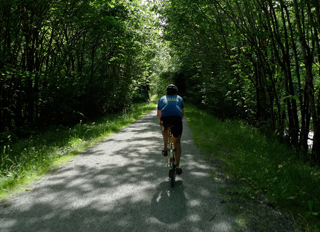
It was mostly downhill to Greenwater, where we had lunch. Another “transport stage” brought us back to Seattle. The Green River Trail provided a nice back-door way into the city without having to deal with rush-hour traffic. Just 24 hours after we started, we were back home after about 480 km (300 miles) on the road.
We’re a bit disappointed that it’s still too early to ride the full Super Randonnée 600 course, but our preview was a wonderful ride in its own right. And it has made us look forward all the more.
